Catalog Code:
M- 17

Description:
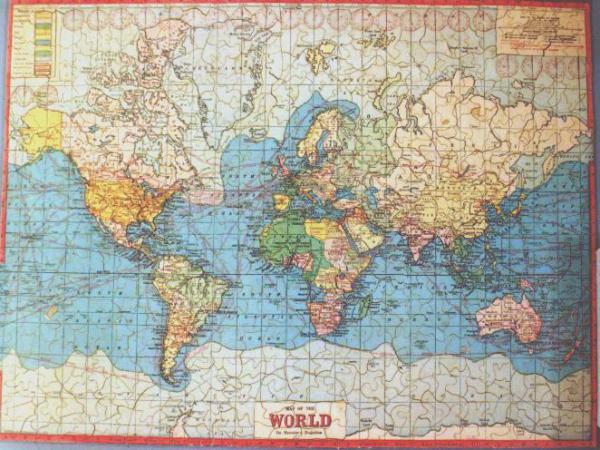
Earliest puzzles in 1760's were cut out of maps as learning tools for children: maps still make fascinating puzzles today. This map puzzle has much history: colonial mandates, extent of icebergs (shown in gray), shipping routes, Siberia clearly separated from Russia. Hand cut out of thick cardboard, extensively along color lines with little interlock, it is a challenge to assemble, especially the wide oceans where longitude and latitude lines are most helpful. Maker unknown.
Topics:
Sale Status:
Not for Sale
Collection: